
Made by foragers. Built on data.
ShroomCast forecasts fourteen wild mushrooms, fourteen days ahead, for every region and every wood near you.
Get the appWe pick mushrooms ourselves.
ShroomCast is the forecast we wanted for our own walks. It tells you when to go, for which mushroom and where, and it runs on machine learning trained on millions of real finds and years of weather.
A model for every mushroom in every climate
Each of the fourteen mushrooms has its own machine learning model for each of twelve climate groups, 168 models in all. Regions with a similar climate and terrain share a group. The models learn from our records of where and when mushrooms were found and from the weather in the three weeks before each find. The forecast for your region comes from the model for that mushroom and your region's group, and is then set against your region's own history of finds. We retrain the models regularly, and the forecast is recalculated several times a day.
Every region in its colour
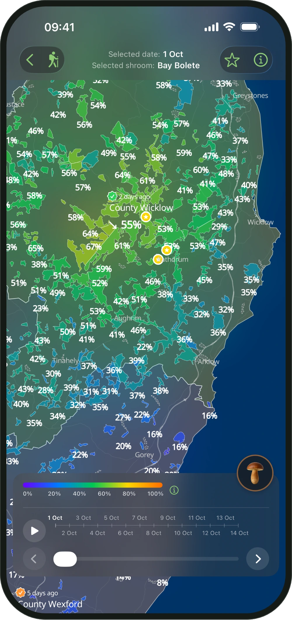
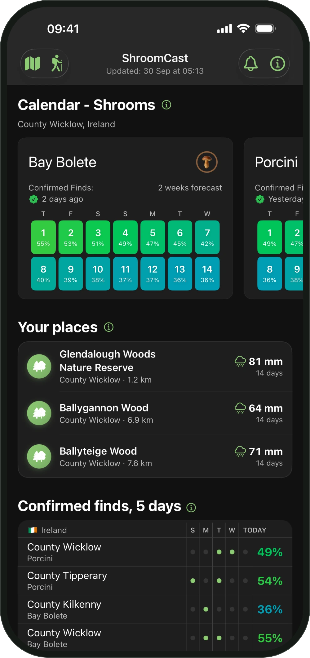
Fourteen days ahead for each mushroom. Play the days and watch the season move across the map.
 Co. Tipperary, September 2026
Every percent explains itself
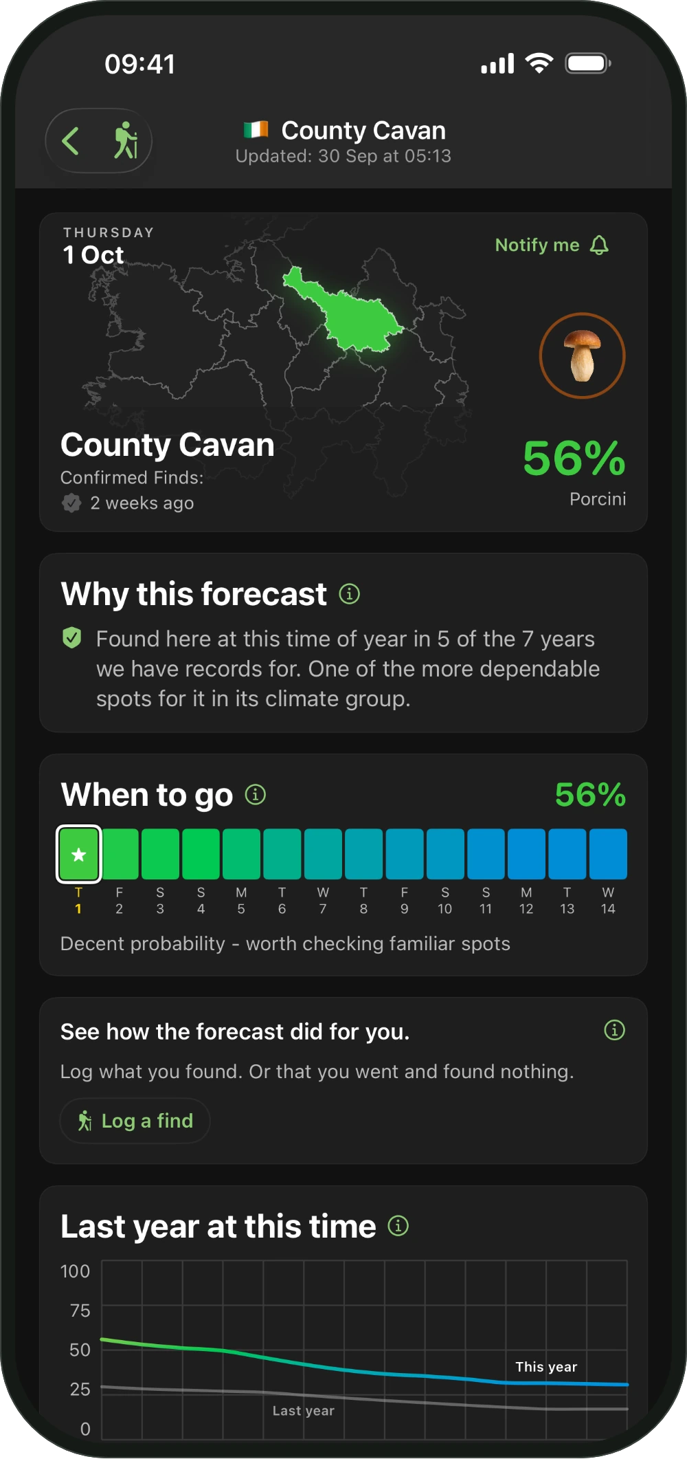
Open a region and Why this forecast explains the number in plain words. It tells you how often this time of year has paid off there, and how much the records behind it can be trusted.
 Co. Wicklow, September 2026
Every wood has its own forecast
Zoom in on the map and each wood fills with its own colour. Tap one to open its card. It shows our estimate for each mushroom there today, the rain of the last 14 days, the trees, their age and the ground. The wood percent is new, so we call it an estimate.
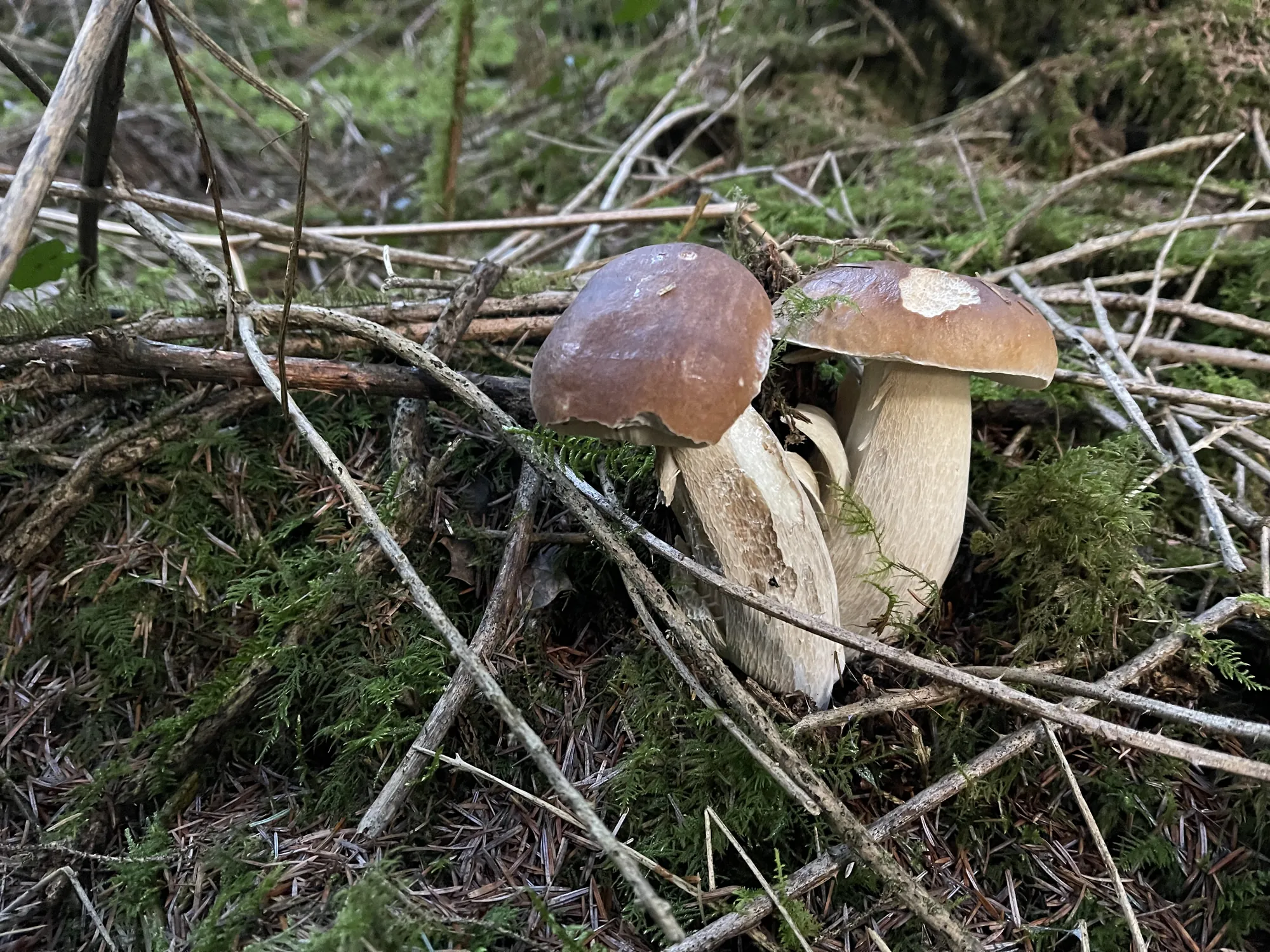 Co. Wicklow, September 2025
Real finds, checked by people
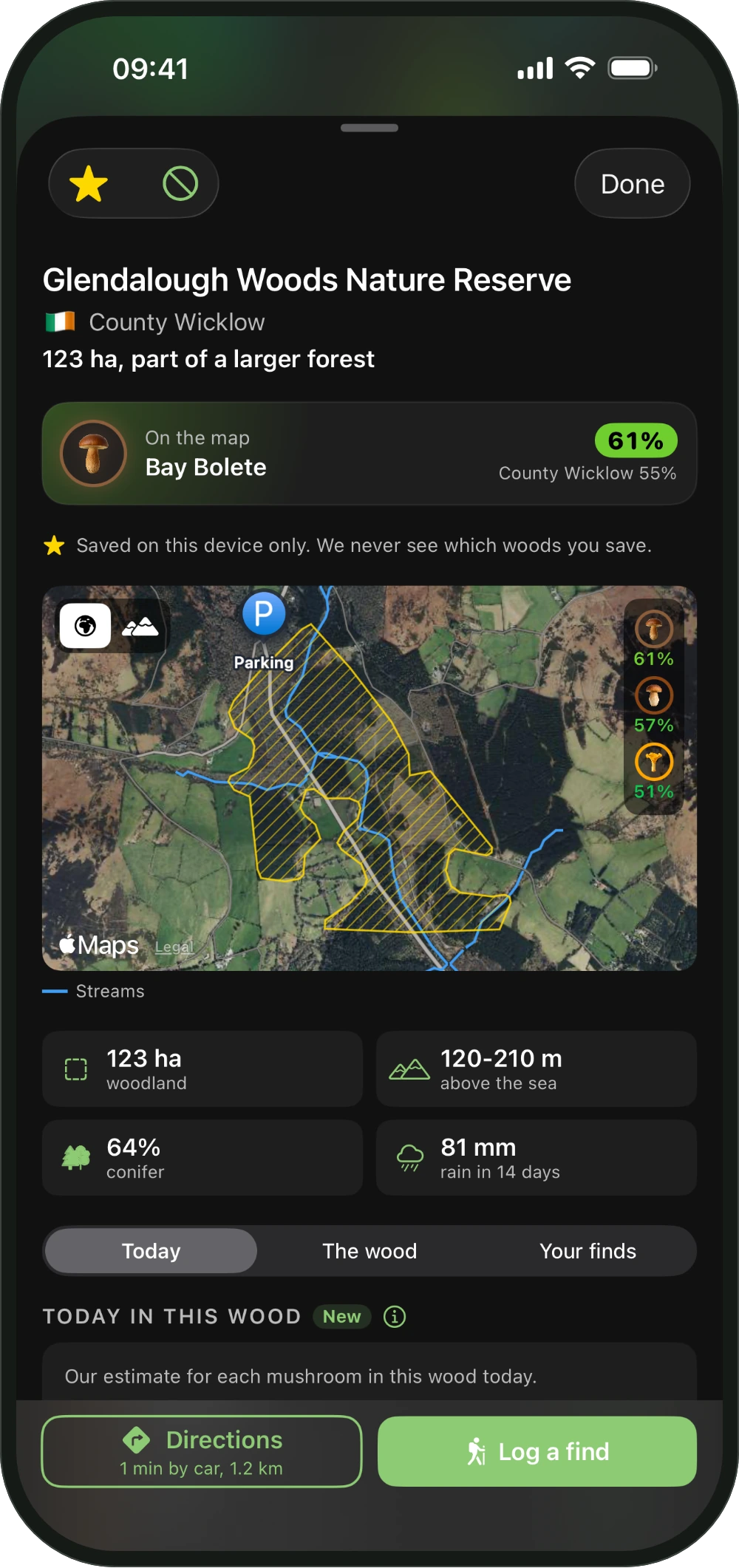
Foragers share their finds in their communities. Our team reads them, confirms them and puts them on the map, each with the day it was found.
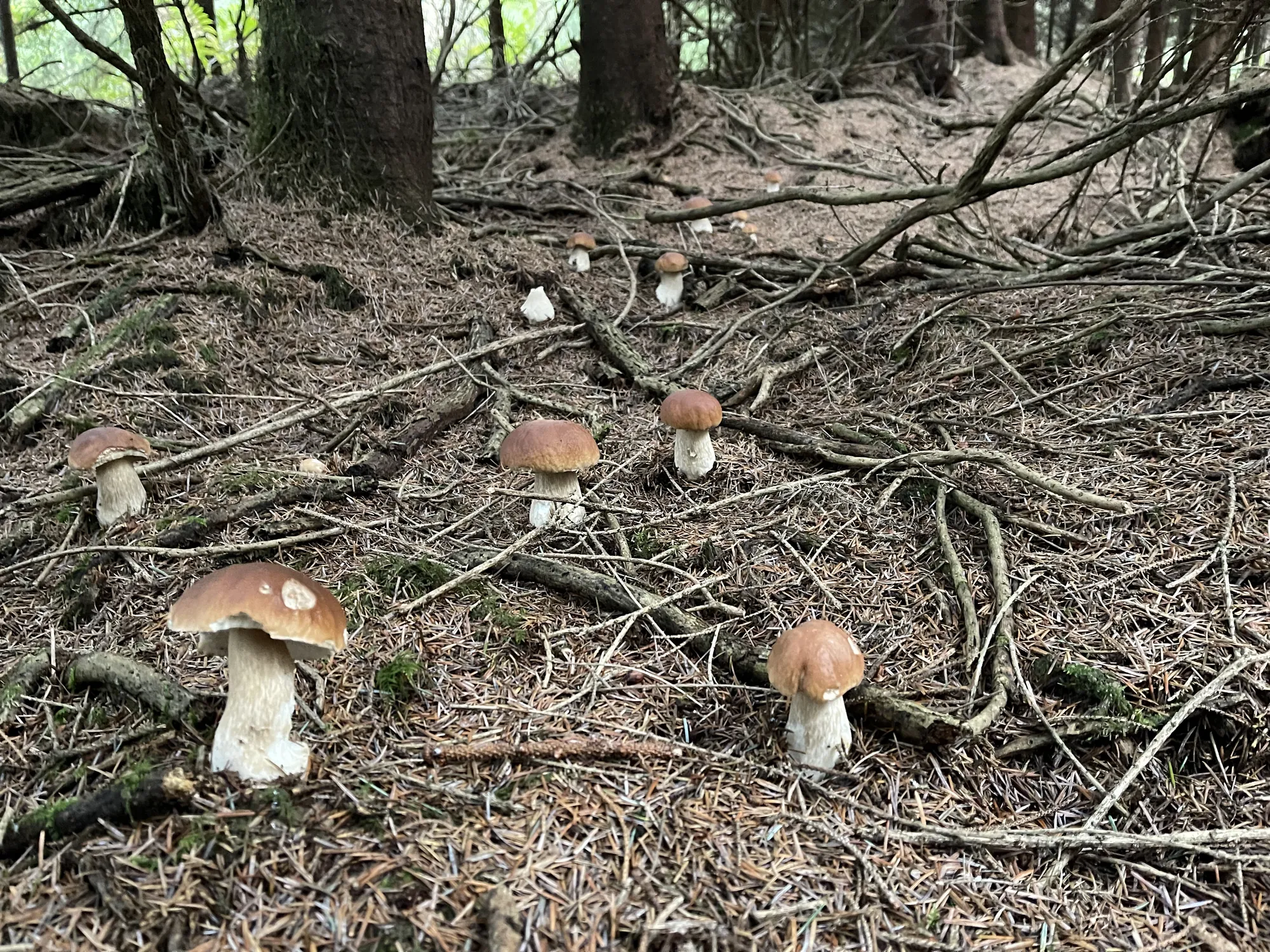 Co. Wicklow, September 2025
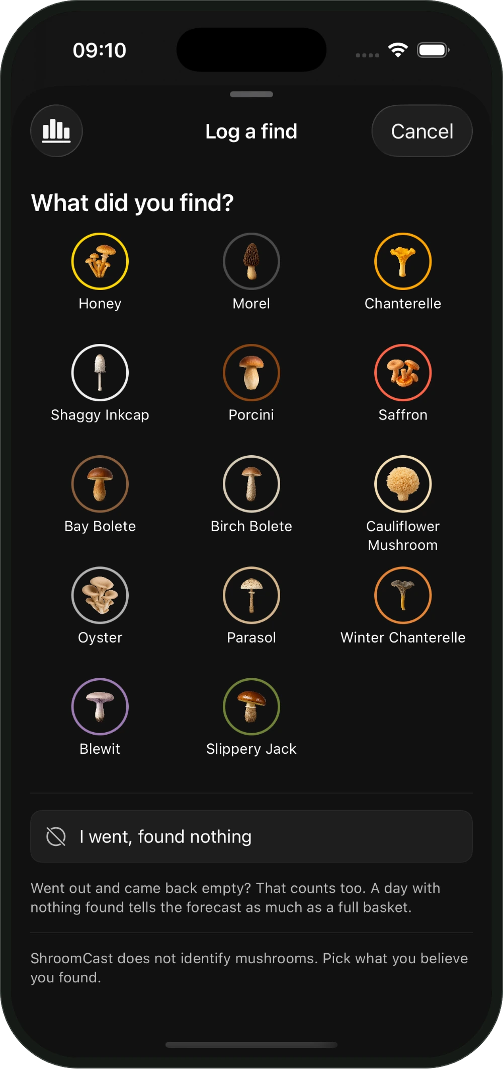
Keep a record of your finds
Log what you found, or that you found nothing, and see how the forecast did for you over the season.
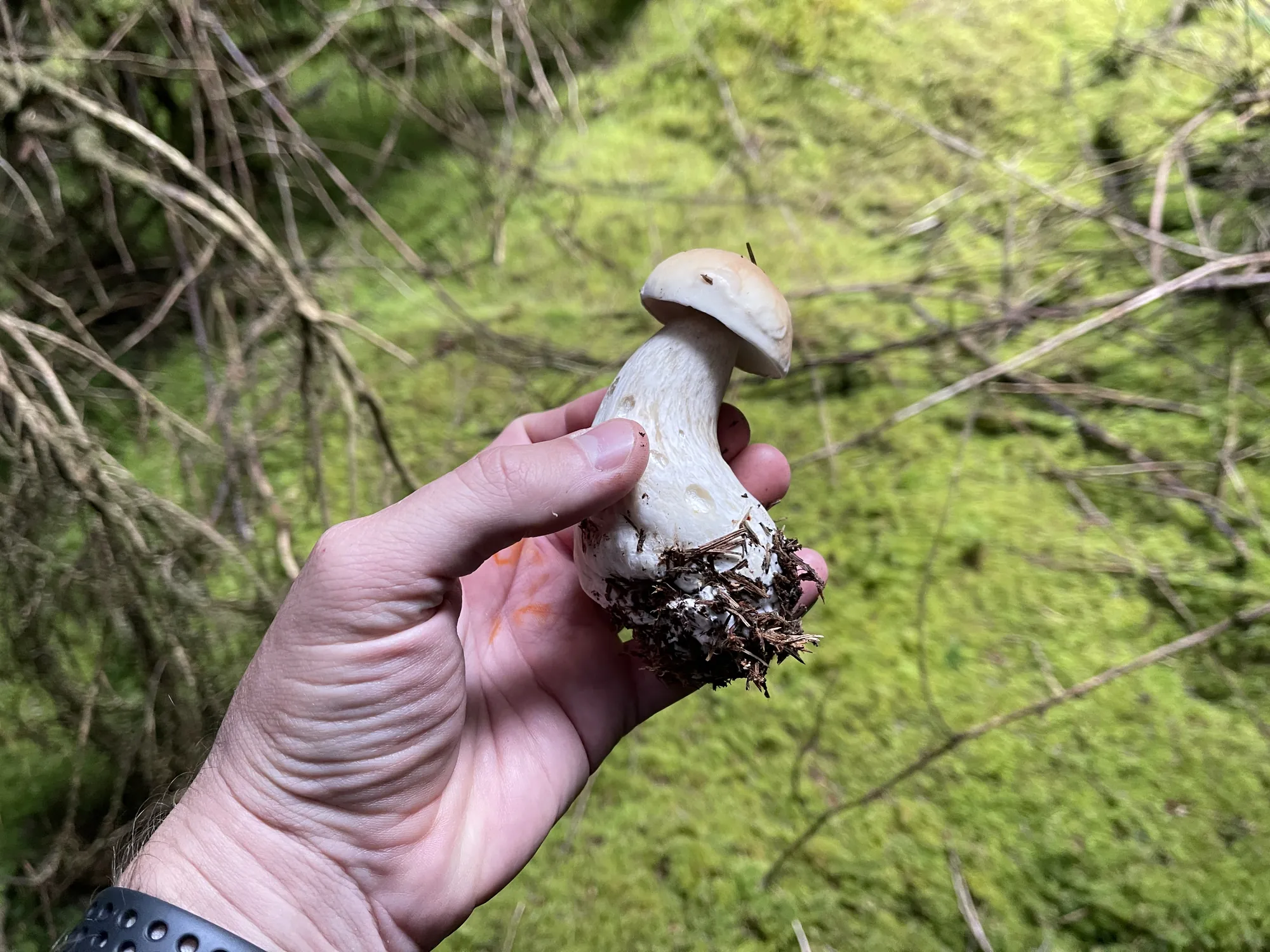 Co. Wicklow, July 2023
Your spots stay yours
The woods you save and the ones you mark stay on your phone. We never see which woods you save. A find you log reaches our server with its region, never its wood, and you can delete your records from our server at any time.
We go out too
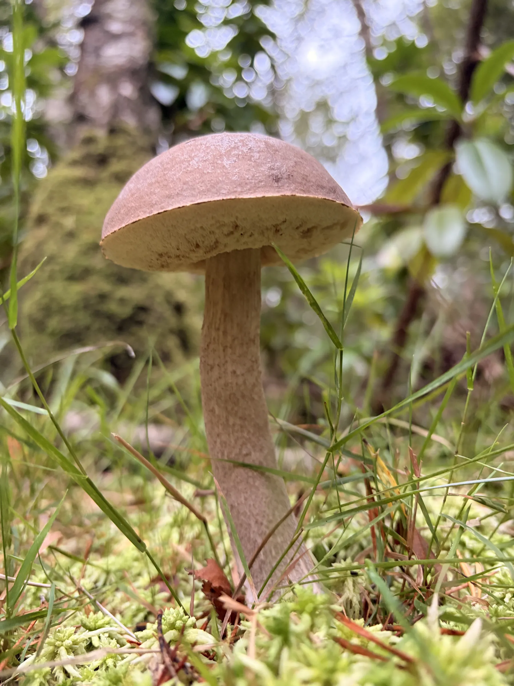
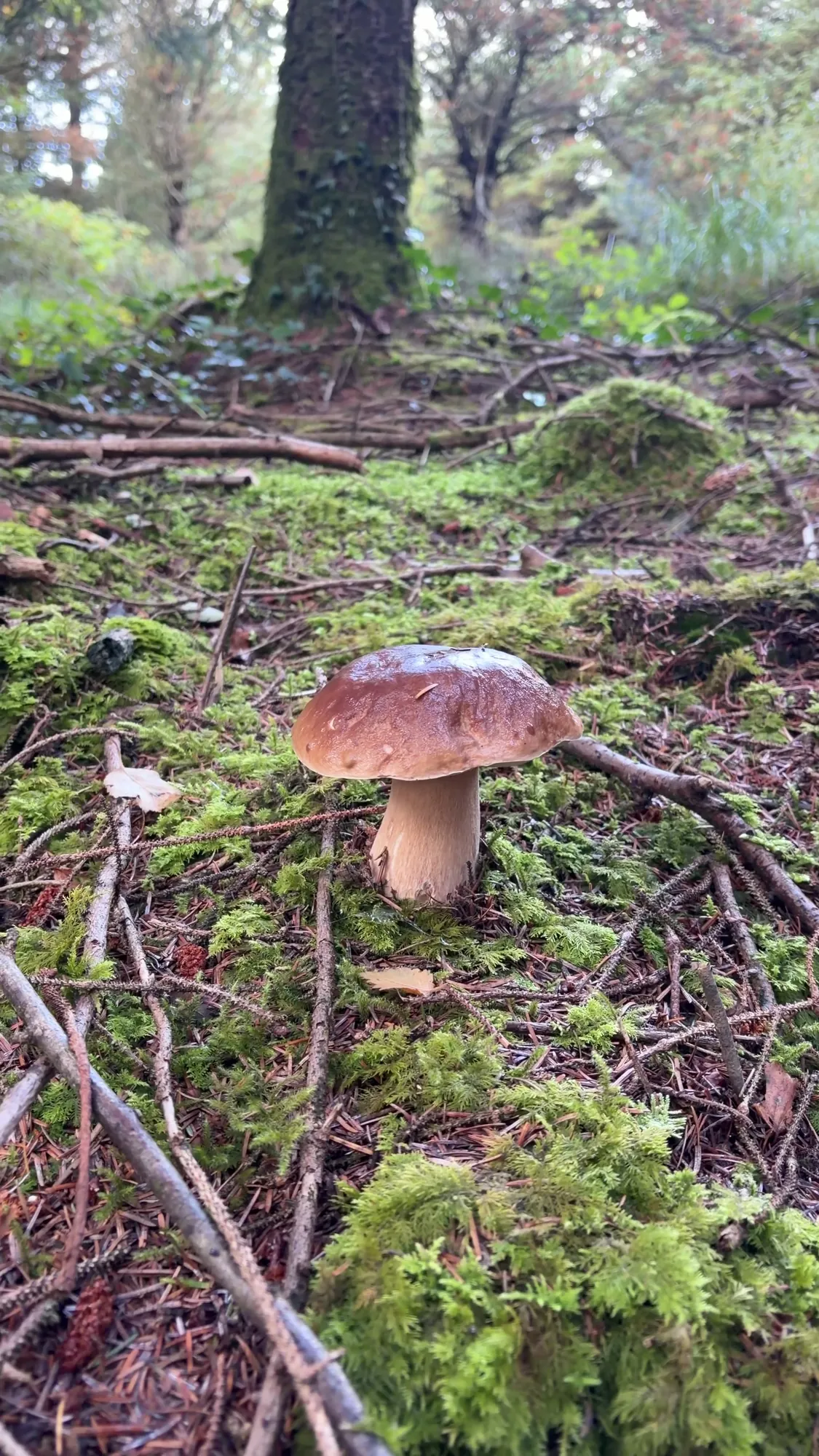
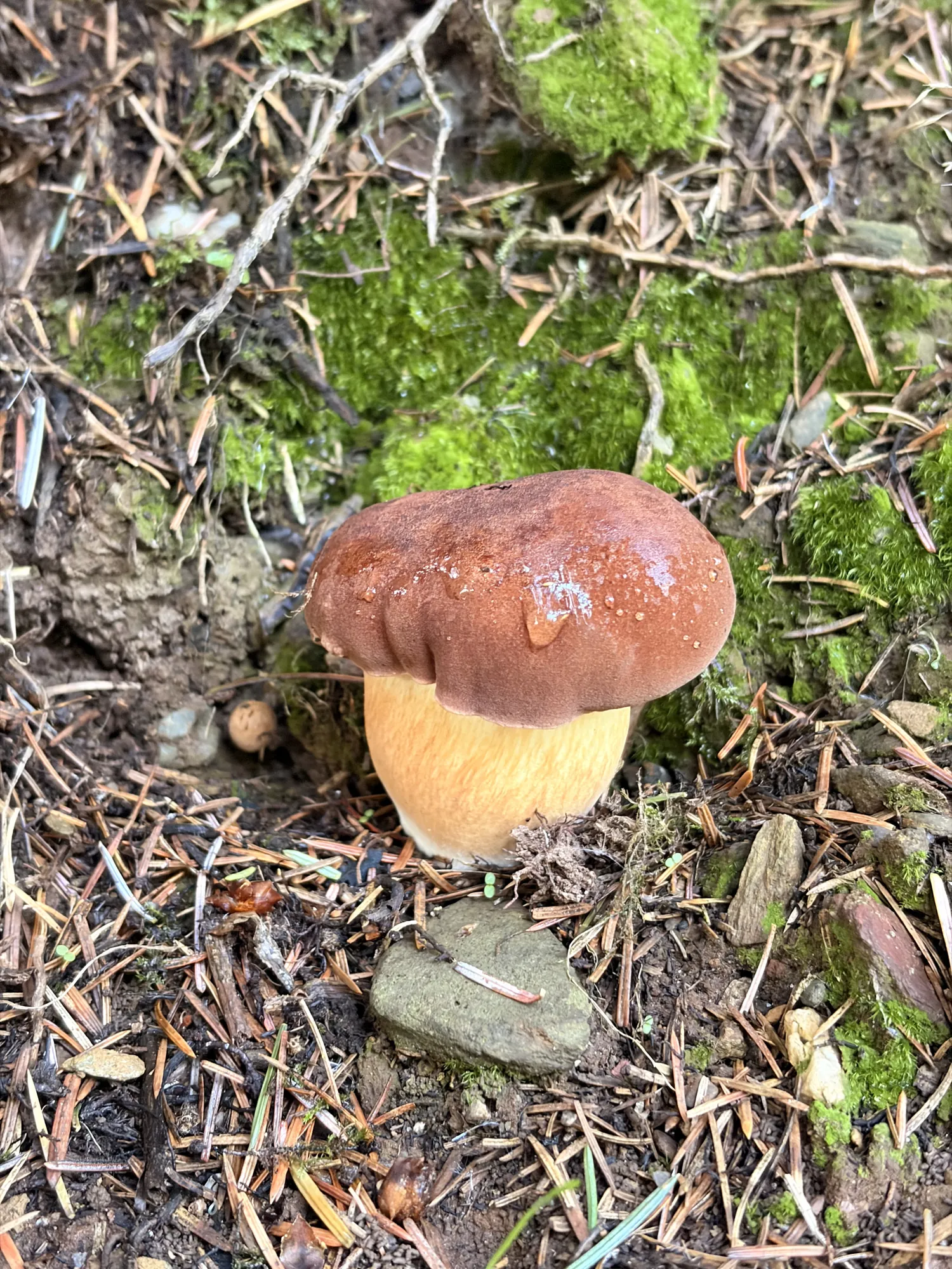
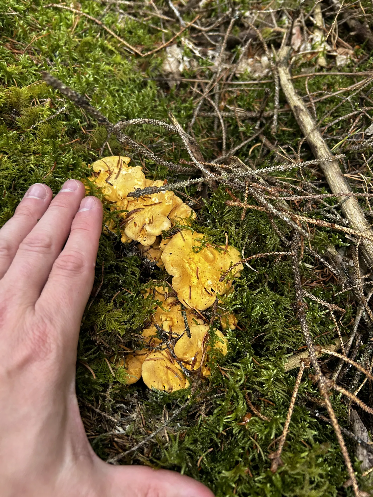
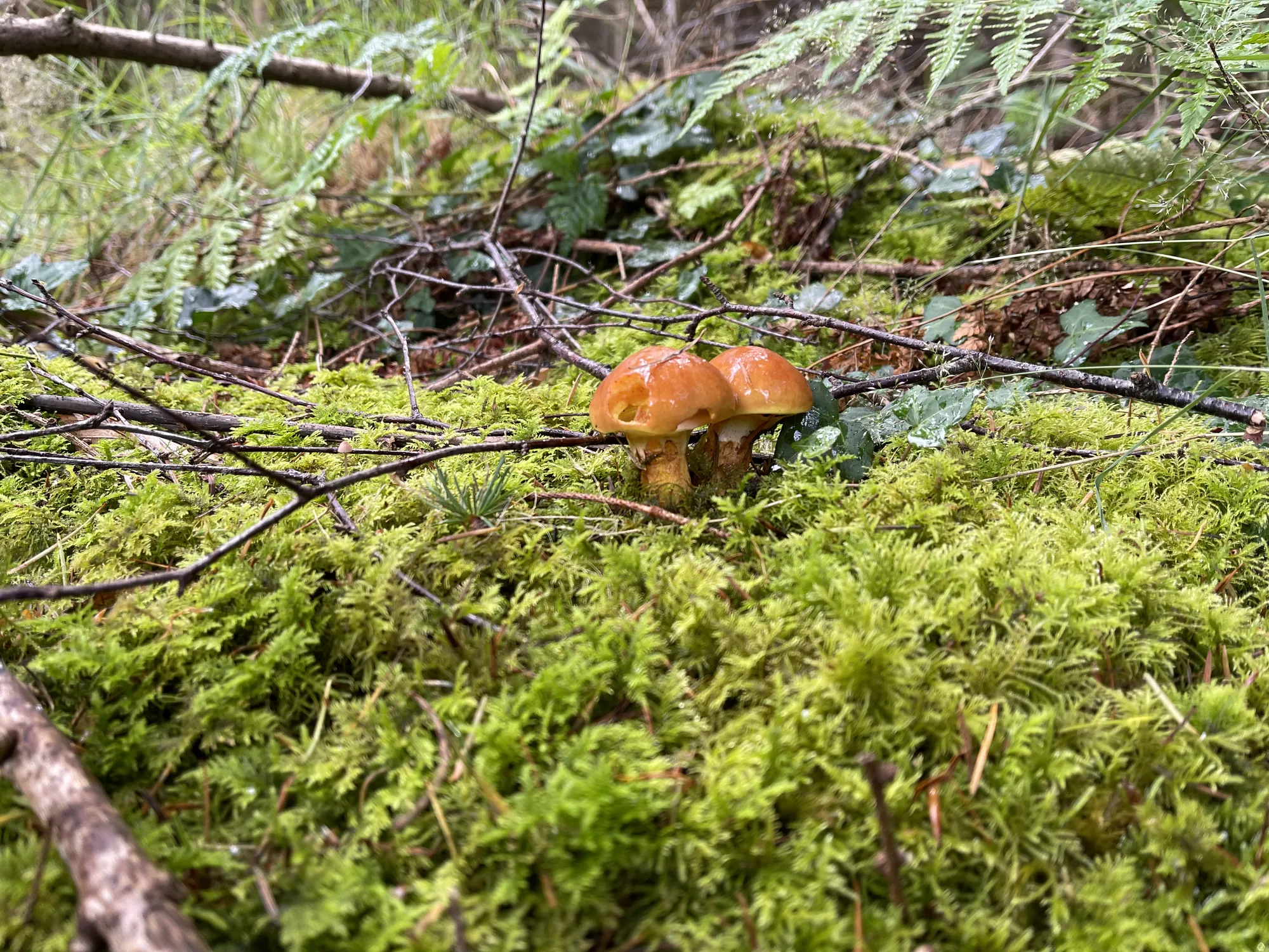
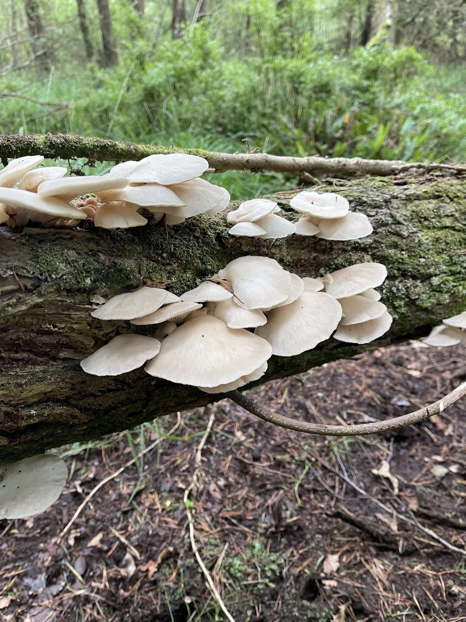
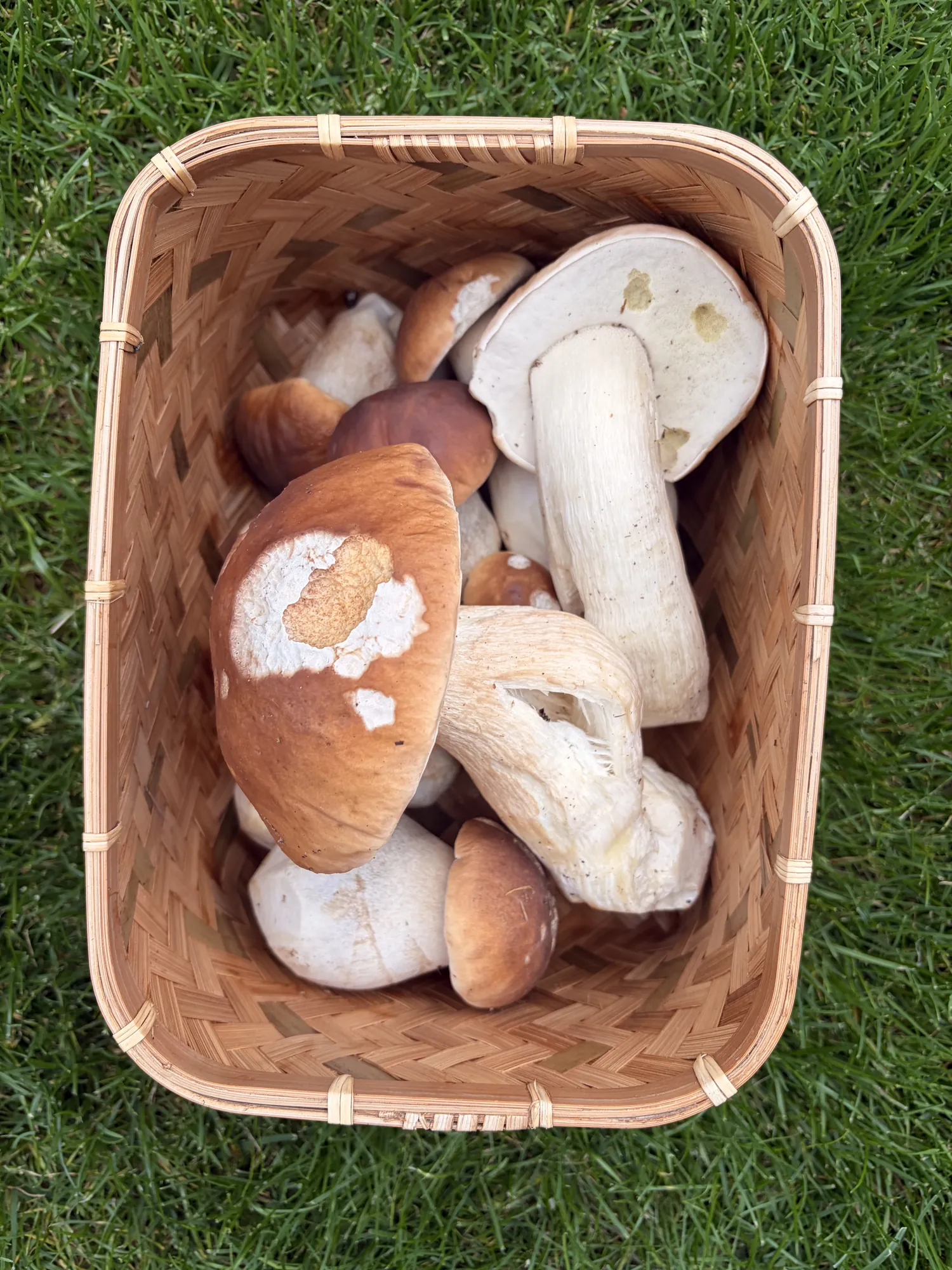
Every photo on this page is ours, taken on our own walks.

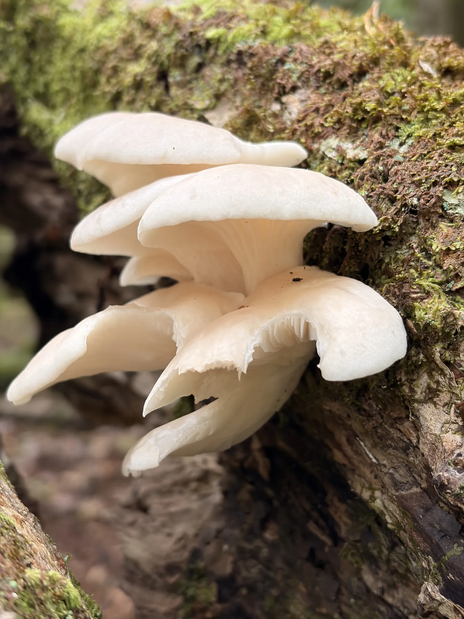
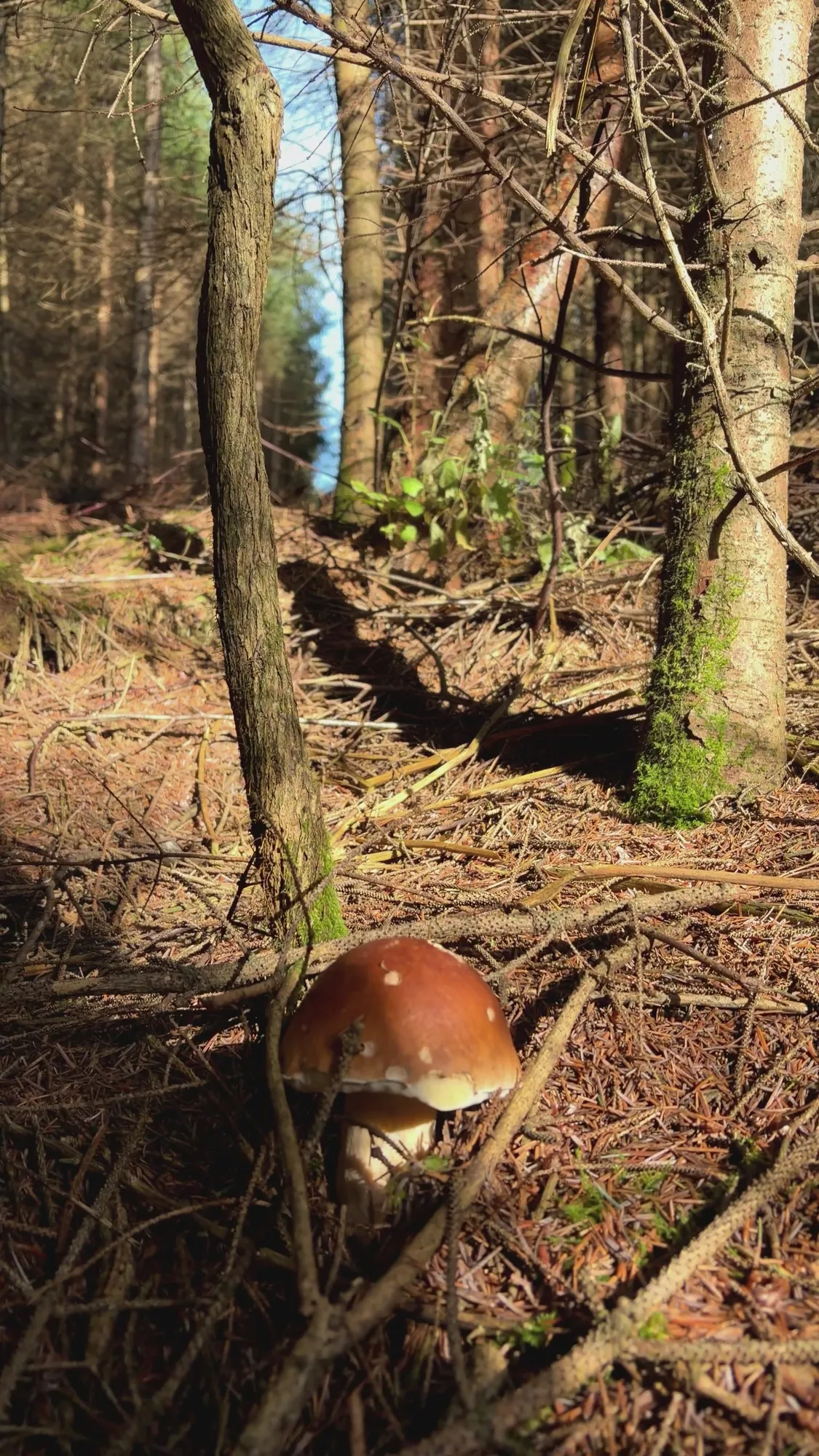
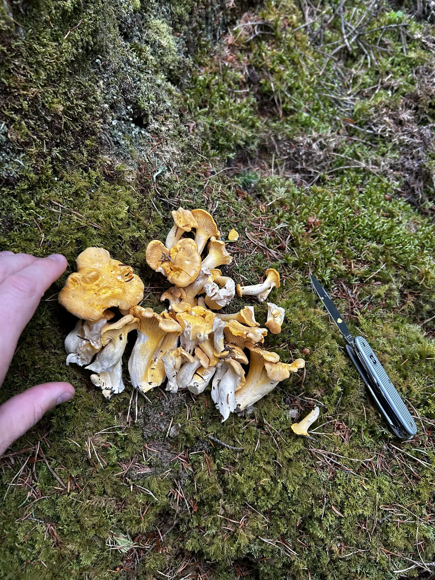
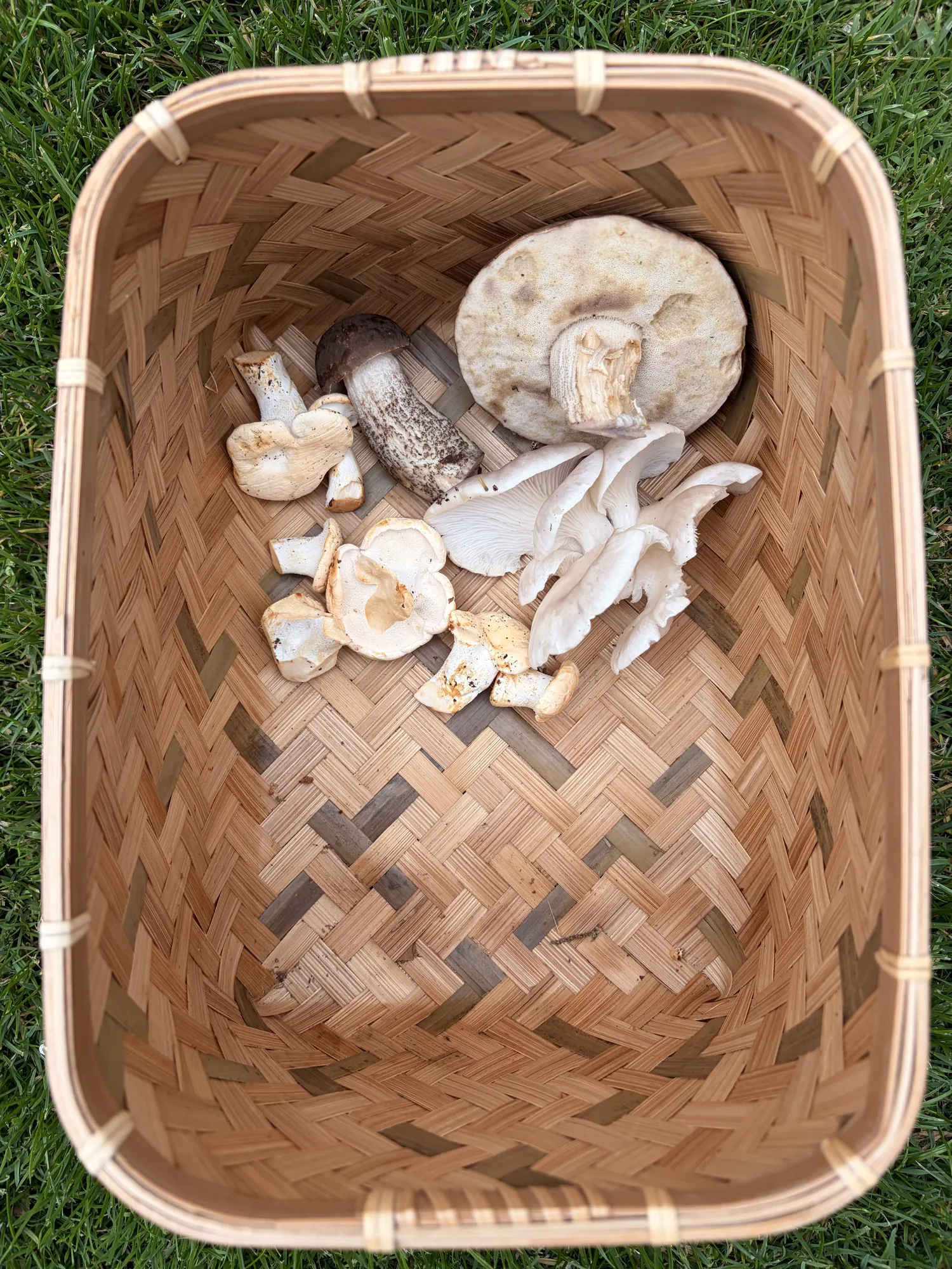
Forecasts are estimates only. Our model considers weather, soil, forest cover, the season and historical data. Local conditions may still vary.
Foraging is your own responsibility. ShroomCast does not identify mushrooms and is not a substitute for expert advice.
Get the app
Free to start with 4 species.



Data creditsWeather data by Open-Meteo.com, from the national weather services. Forest maps from ESA WorldCover and Copernicus, tree height from Meta and WRI. World rock map from OpenLandMap by T. Hengl, made from USGS data, CC BY-SA 4.0. Names, roads, parking and streams from OpenStreetMap contributors.